
More options.
For your acres.
Reach challenging areas, put applications where they’re needed and get a clearer picture of your crop. Our drone spraying, seeding, spreading and field imaging services give you more ways to tackle the needs of your farm. Now accepting requests for the 2027 season.
Drone spraying
Give hard-to-reach areas the attention they need. Drone spraying offers another option for smaller parcels, awkward corners and targeted applications, without driving a ground sprayer through your crop.
Get my spraying estimate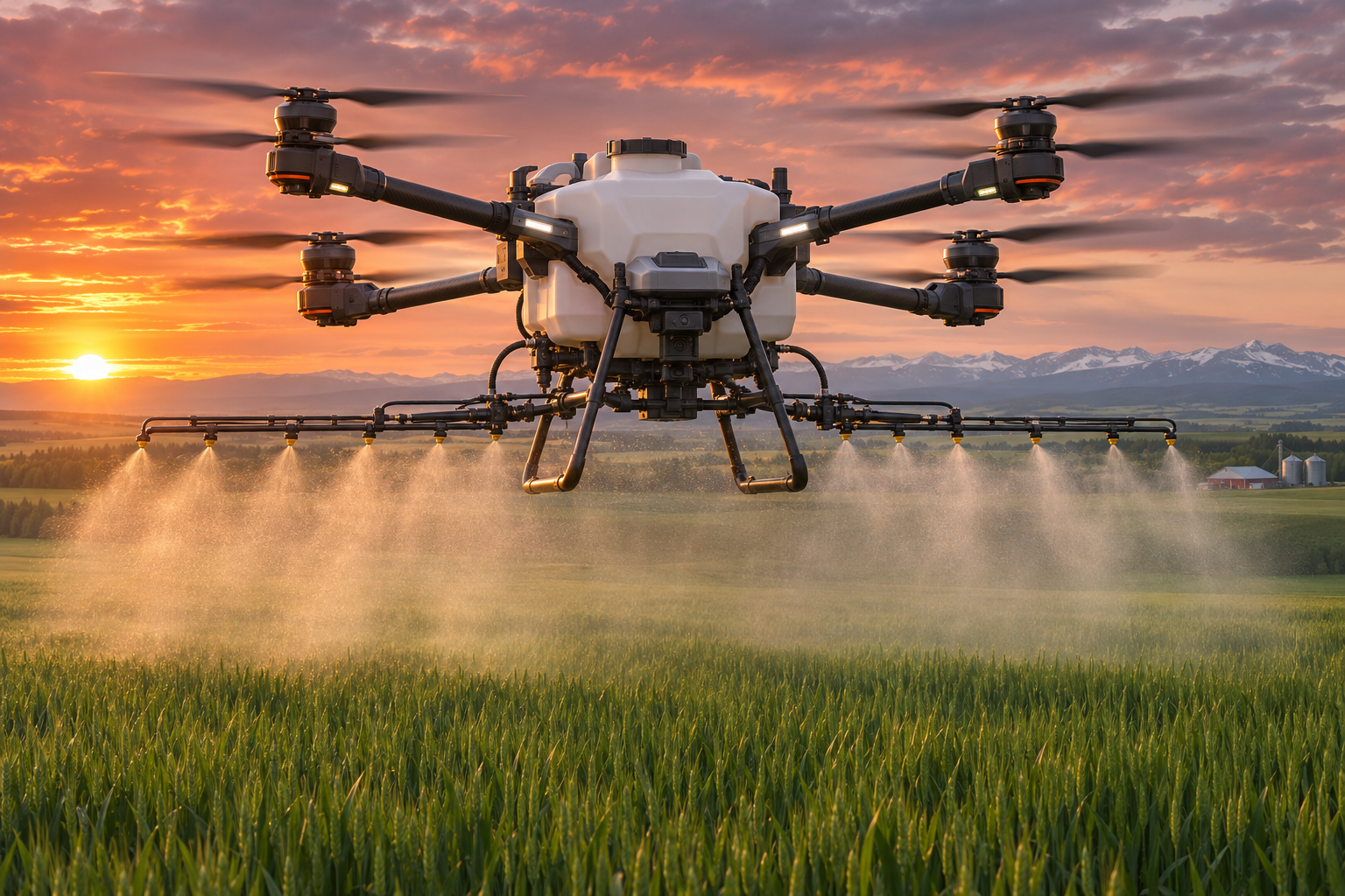
Reach the acres that matter.
- Keep ground application equipment off the crop and avoid additional wheel tracks.
- Target selected areas or plan coverage across a suitable field.
- Get a flight plan tailored to your field boundaries, obstacles, slopes and access.
- Know the job is planned around product suitability and application requirements before work is confirmed.
You supply the chemical product; we provide the application service.
Seeding & spreading
Put seed and nutrients where they can make a difference. From cover crop seeding to fertilizer and other suitable granular applications, drone spreading gives you a way to reach marginal acres and difficult areas while keeping ground equipment out of the field.
Get my spreading estimate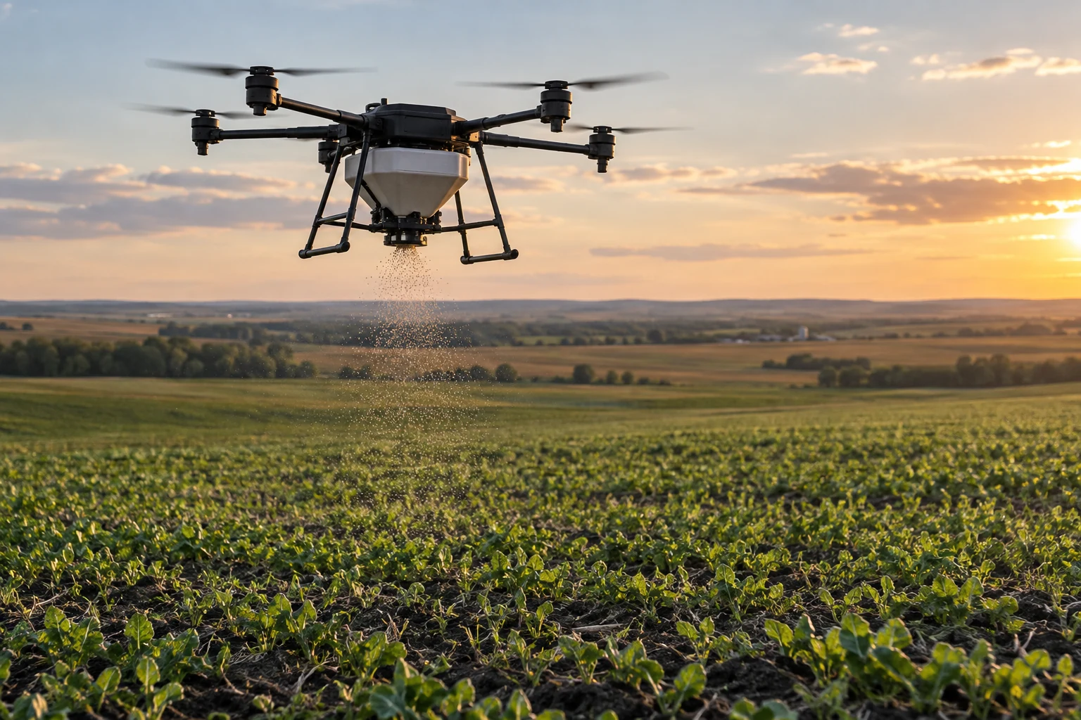
Make more of each application.
- Give smaller parcels, awkward corners and hard-to-reach areas a place in your seeding or fertility plan.
- Plan the application around your chosen product, target rate and the acres you want covered.
- Include multiple nearby fields in one visit to make the most of our time on your farm.
You supply the seed, fertilizer or other granular product; we provide the application service.
See more of your acres.
Make your next scouting trip count. A clear view from above helps you find areas worth a closer look, document field conditions and see how your crop changes through the season. Share the same picture with your agronomist or adjuster so the conversation starts with what’s happening on your acres.
Turn a better view into a better-informed plan. Use the imagery with your own agronomist, or ask our sister company, Emerald Agronomy, about separate agronomic advice and image interpretation.
Get my imaging estimate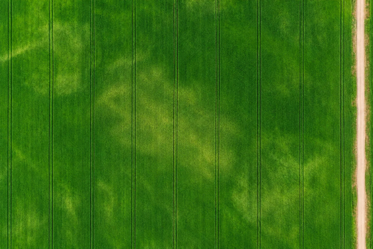
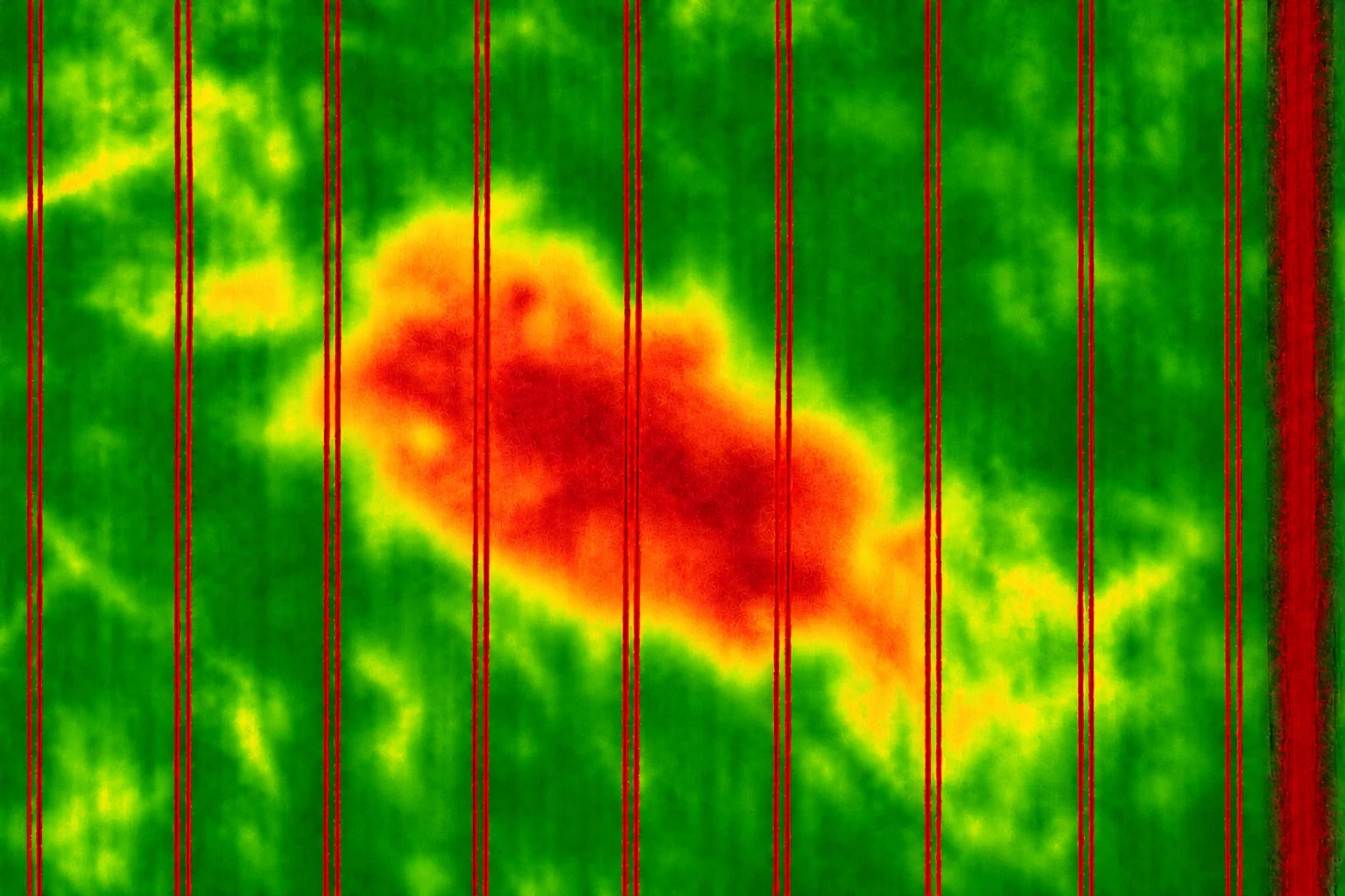
The right view for the job.
- Field Mapping
- Our low-res option gives you a clear overview of your acres, with much finer detail and a much more current view than typical satellite imagery. Use it to see field layout, spot broad changes and plan where to take a closer look.
- High Res Imaging
- Get the detail you need to investigate concerns and document what’s happening in your field:
- Locate visible weed patches to focus your ground scouting.
- Document storm damage and lodging with a clear view of affected areas.
- Check crop emergence and find gaps in the stand that deserve a closer look.
- Spot ponding, drainage concerns and uneven growth across the field.
- Build a visual record to support insurance claim documentation.
- Multispectral Crop Health Imaging
- Find areas of concern that a standard colour photo can miss. Multispectral imagery uses visible and near-infrared light, with vegetation indices such as NDVI, to bring differences in crop vigour into focus. Give your scouting a clearer starting point, investigate uneven growth with your agronomist and track how those areas change through the season.
Field Mapping is included with High Res Imaging or Multispectral Crop Health Imaging, so you get the whole-field overview as well as the detail you need. Combine both imaging services to see crop appearance and crop vigour together.
Your goals.
A clear plan.
Know the scope and cost before work begins. We’ll help match the service to what you want to accomplish, with a plan built around your field and an official quote for you to review.
We’ll work through access, timing, product requirements and suitability together, so you know what to expect when we arrive. Final scheduling depends on conditions and availability.
Start with an estimate or a conversation. There’s no payment or booking commitment when you submit a request.
Know what to expect.
Enter your acreage or mark your fields, tell us what you need, and see an estimate before requesting an official quote.